The low pressure area over the North East Sea has strengthened into a tropical depression
Latest
 |
| The low pressure area over the North East Sea has strengthened into a tropical depression. (Source: Vietnamnet) |
At 7 o'clock, the center of the tropical depression was located on the southeast coast of Guangdong province (China). The strongest wind in the area near the center of the tropical depression is strong at level 6 (40-50km/h), level 8 gusts. The radius of a strong wind at level 6, level 8 is about 70km from the center of the tropical depression.
From 7:00 a.m. on August 4 to 7:00 a.m. on August 5, the tropical depression moves in the northwest direction, at 10-15km per hour, going inland to Guangdong province (China) and gradually weakening into an area of low pressure. At 7 a.m. on August 5, the central position of the low pressure area was in the western region of Guangdong province (China). The strongest wind in the center of the low pressure area dropped below level 6 (less than 40km/h).
Danger area due to tropical depression over the East Sea in the next 24 hours (strong winds of level 6 or higher, gusts of level 8 or higher): North of latitude 20.5 degrees north latitude; from longitude 113.5 to 117.5 degrees East longitude. All ships and boats operating in the danger zone are at high risk of being affected by strong winds and high waves. Disaster risk level: Level 3.
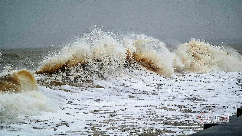
Due to the influence of tropical depression, in the northern sea area of the North East Sea on August 4, there were strong winds of level 6 and gusts of level 8; The waves are 2-3 m high, the sea is rough.
In addition, due to the influence of the southwest monsoon, which tends to become stronger, on August 4, the middle and south areas of the East Sea (including the waters of the Truong Sa archipelago), the sea from Binh Dinh From Ca Mau, Ca Mau to Kien Giang and the Gulf of Thailand with showers and thunderstorms, in thunderstorms there is a possibility of tornadoes and strong gusts of 6-7.


