IT application helps improve State management of geological, mining activities
Latest
 |
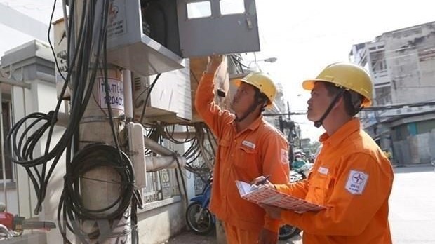
| The IT application helps improve State management of geological and mining activities. (Photo: VNA) |
To date, the department has completed geological mapping and mineral investigation on the scale of 1:50,000 for 242,445 sq.km of land area, equivalent to 73.19 percent of total land area, and maps at the scale of 1:100,000 and 1:500,000 over an area of more than 244,000 sq.km of sea at the depth of 0-100m.
The agency has conducted preliminary surveys of hundreds of mineral sites of all kinds, and zoned many potential areas for resource assessment and identification. It has also discovered signs of potential mineral mines, such as rare earth in weathered crust in the northwest and central regions, or metal minerals in the northwest region, while detecting signs of tectonic activities and faults as well as landslides, in order to give alert about natural disasters.
The mineral sector has granted mining licences to projects worth nearly 1.6 trillion VND (70.43 million USD), while issuing eight decisions on the fees for use of data and information on mineral investigation and exploration by the State at a total value of more than 22 billion VND (968,523 USD). This is an important resource for the activities of mineral exploration and assessment in the following years.
Last year, the department launched its online public services and upgraded its website to a portal to provide information about state management activities on geology and mineral resources.
The department plans to apply national technical standards in its activities, while promoting the application of information technology in building e-government in the natural resources and environmental sector.


